
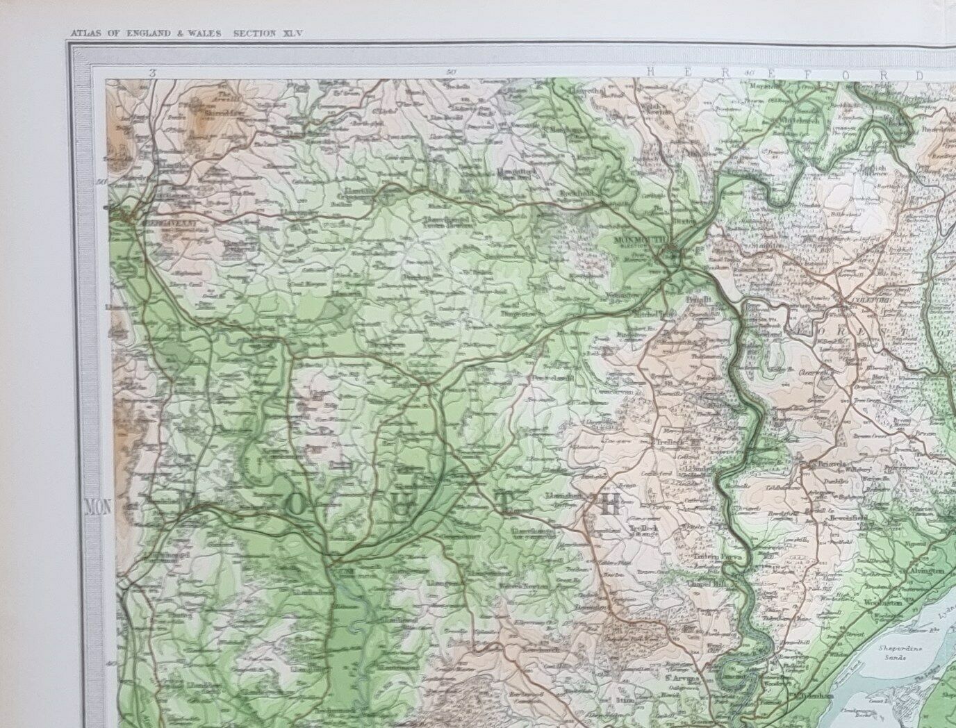

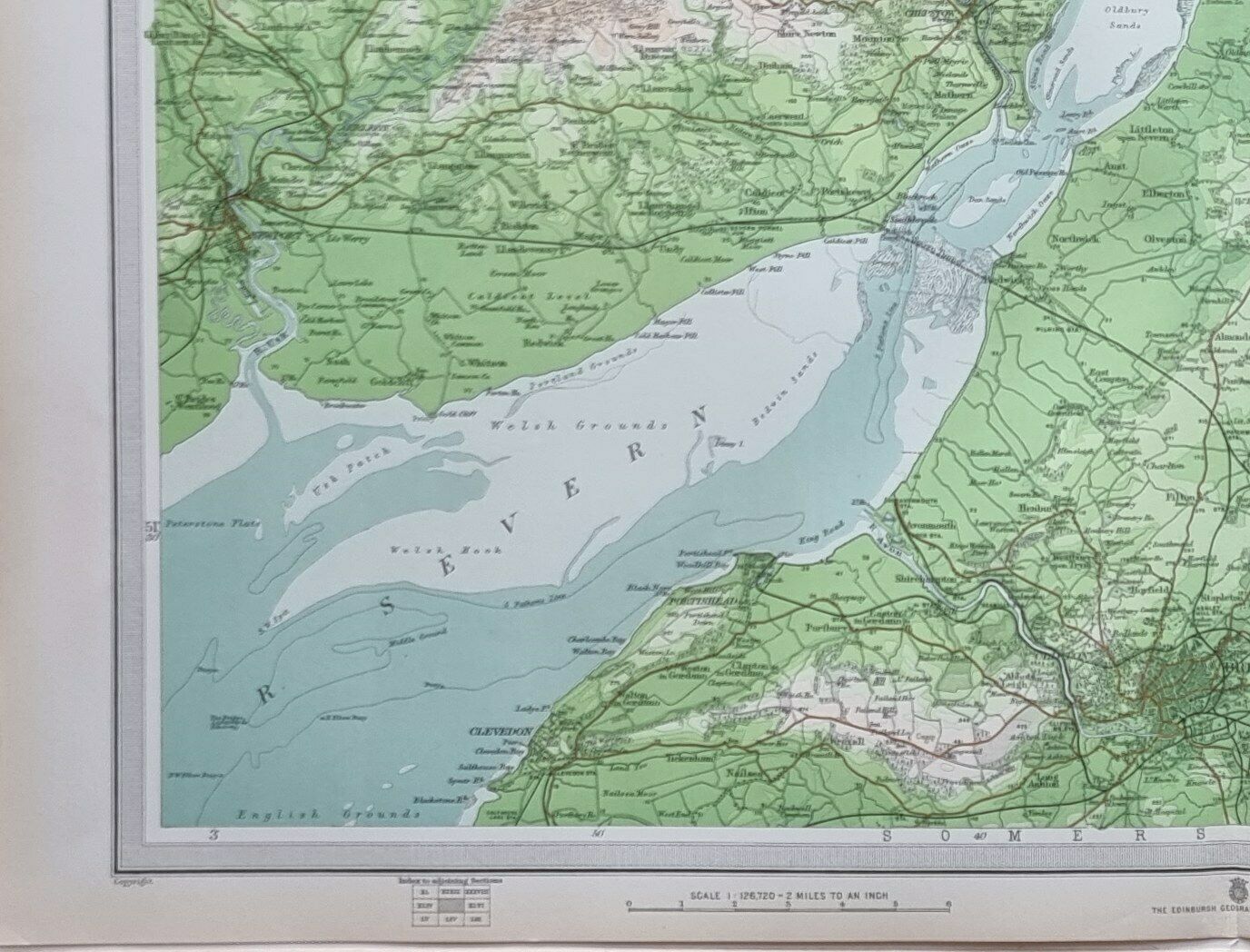

1903 ANTIQUE MAP ENGLAND & WALES BRISTOL MONMOUTH GLOUCESTER STROUD TETBURY
$63.48 (-40%)
Description
This is from a series of maps produced for
The Survey Atlas of England & Wales
Map produced & printed by: J. G. BATHOLOMEW
The Edinburgh Geographical Institute 1903
Approximate size of sheet:
23 inches by 17 inches
(585mm x 430mm)
****CONDITION****
PLEASE VIEW IMAGES TO SEE ANY HANDLING/AGE MARKS
/REPAIRS/DAMAGE/EXTENT OF MARGINS etc
Please message with any questions regarding this item
1903 Survey-B
This is from a series of maps produced for
The Survey Atlas of England & Wales Map produced & printed by: J. G. BATHOLOMEW The Edinburgh Geographical Institute 1903 Approximate size of sheet: 23 inches by 17 inches (585mm x 430mm)
****CONDITION**** PLEASE VIEW IMAGES TO SEE ANY HANDLING/AGE MARKS /REPAIRS/DAMAGE/EXTENT OF MARGINS etc
Please message with any questions regarding this item
1903 Survey-B